Walking in Les Deux Caps: Trails, Cliffs and Coastal Villages
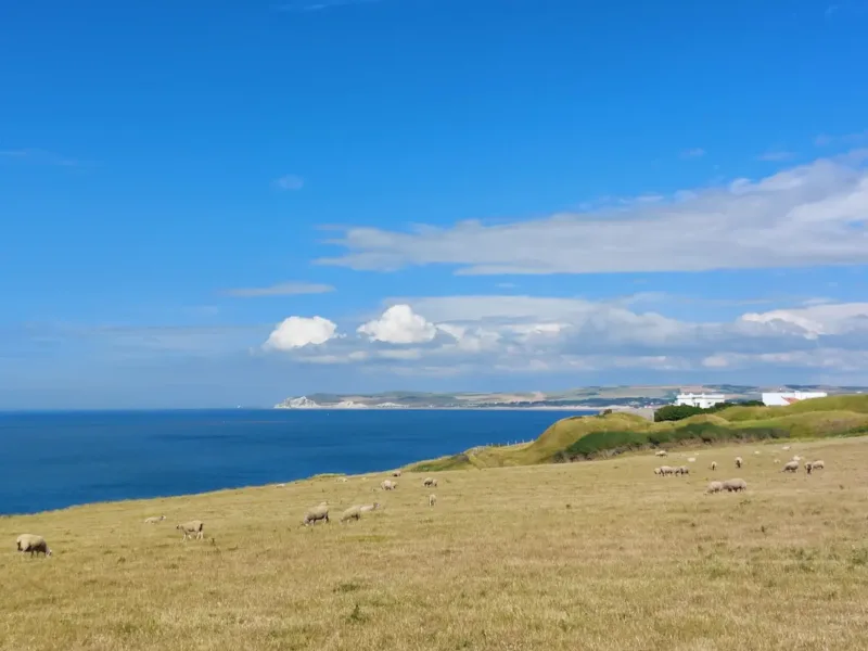
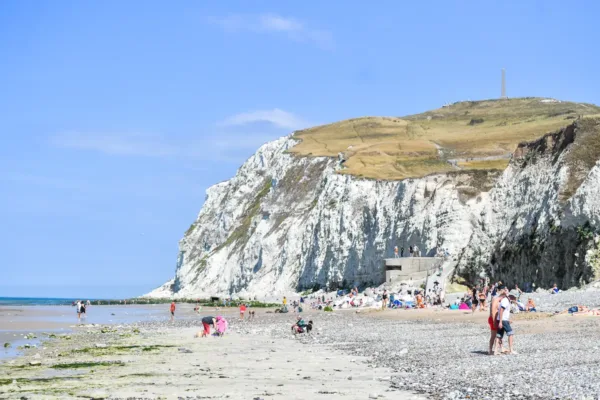
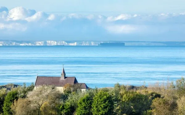
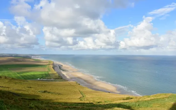
From the chalk cliffs of Cap Blanc-Nez to the sea views at Cap Gris-Nez, Les Deux Caps is made for exploring on foot. You can choose a short walk to a viewpoint, spend an afternoon among fishing villages or follow a longer trail through dunes and farmland. On a clear day, you may even see England across the Channel.
The routes below are grouped by area to help you choose where to start. Distances are indicative: check the latest map and any path closures before travelling, particularly along the cliffs and in protected natural areas. Stay on marked paths and keep well back from cliff edges.
-
Family friendly walk
Short walks at Cap Blanc-Nez and Cap Gris-Nez
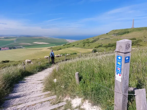
If you have limited time, the Belvédères walks at each cape offer an easy introduction to the landscape. Each is around 1 km and takes approximately 15 minutes. These designated viewpoint routes are suitable for pushchairs and visitors with reduced mobility, although conditions may vary with the weather. Use the signposted car parks and follow the marked paths to the viewpoints.
 © Marion Harmel
-
Walks around Boulogne-sur-Mer, Wimille and Wimereux
Parcours Impérial, around 13.9 km
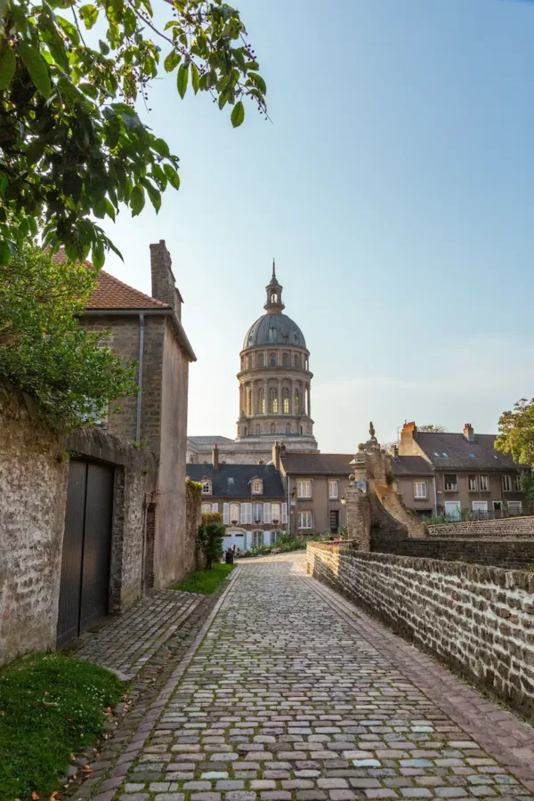
Starting near the Colonne de la Grande Armée in Wimille, this circular walk takes you through the countryside between Boulogne-sur-Mer and Wimereux. It is a good choice if you would like to combine local history with a longer outing and coastal views.
Les Deux Wim, around 6.8 km
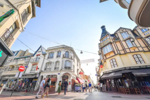
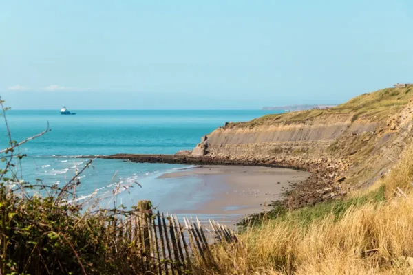
This loop links Wimille with the seaside town of Wimereux. Walk through the green Plaine d’Houlouve before reaching the seafront, where Wimereux’s Belle Époque villas make an attractive change of scene.
 © S. Brissaud Pas-de-Calais Tourisme
-
Walks between Wimereux and Ambleteuse
La Baie de Saint-Jean
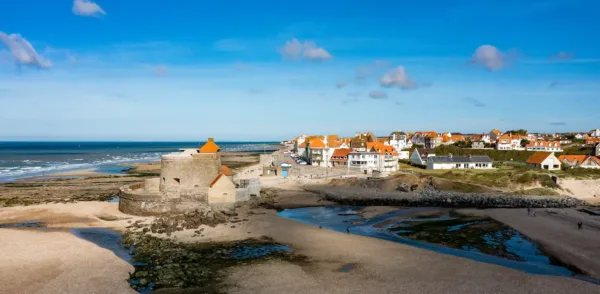
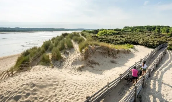
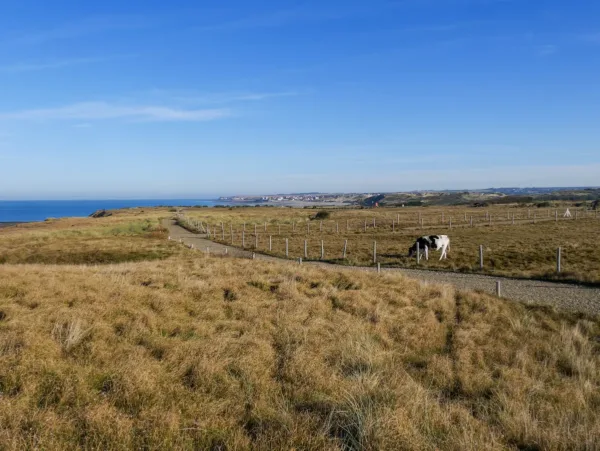
Starting near Wimereux Tourist Office, this walk takes you towards the Slack estuary and its dunes. Allow time to enjoy the coastal landscape and, if your route takes you into Ambleteuse, to see the fort by the water. Check the current itinerary for its length and access conditions.
Le Mont Duez, around 14 km
For a longer countryside walk, Le Mont Duez leads through rolling terrain between Wimereux and Ambleteuse. Bring suitable footwear and allow time for the climbs and open views.
Ambleteuse Historical Trail, around 3.5 km
Beginning by the town hall, this village trail introduces Ambleteuse’s history through interpretation points. It makes a pleasant short walk alongside a visit to the Slack estuary or the seafront.
 © A. Chaput Pas de Calais Tourisme
-
Walks around Cap Gris-Nez and Audinghen
La Cense, around 5 km
This short loop starts at the Maison du Site des Deux-Caps in Audinghen and takes you into the surrounding countryside. Choose it for a quieter outing away from the busiest cliff viewpoints.
Nordic Walking Green Route, around 5.2 km
From the Maison du Site, this route explores the landscape around Cap Gris-Nez, including the Haringzelle area. It is an option for a shorter walk with views of the coast and traces of its wartime history.
Entre Crans et Baie, 11.9 km
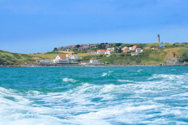
This circular trail combines fields, coastal viewpoints and the small coves known locally as crans. From Audinghen, follow the waymarks towards views over Wissant Bay and the Strait of Dover. With about 185 m of ascent, it is a more substantial walk than the viewpoint paths.
 © AS Flament
-
Countryside walks around Bazinghen
Les Tourelles, around 3.4 km
A short loop from Bazinghen takes you into the countryside above the Slack valley. This is a good option if you would like a gentle rural walk between coastal visits.
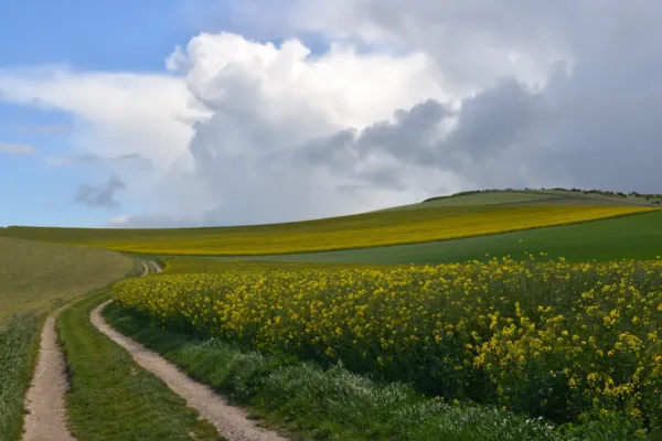
Les Voyettes, around 9.3 km
This longer circuit explores the hills and farmland around Bazinghen. Expect open views and a different perspective on the landscape inland from the caps.
 © E Desaunois
-
Walking around Wissant
Set between the two caps, Wissant makes a convenient base for exploring the bay and nearby countryside. Leave time for a stroll along the beach as well as one of these marked walks.
Le Sentier du Fartz, around 4 km
A short walk from Wissant village for anyone wanting to explore its natural surroundings without committing to a long hike.
Le Sentier des Peintres, around 3 km or 7 km
Follow the landscapes that inspired the painters associated with Wissant. Choose a shorter or longer version, and enjoy the bay’s light and views along the way.
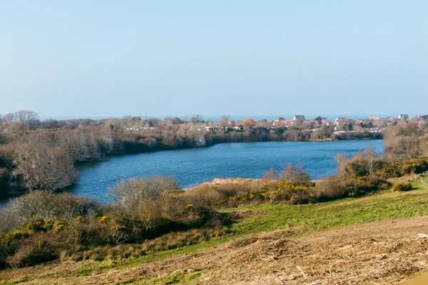
Les Hauts de Wissant, around 11 km
This longer walk climbs above the village for views across Wissant Bay and the surrounding countryside. It is a rewarding choice if you prefer a panoramic route.
-
Walks around Audembert
La Hocque, around 10 km
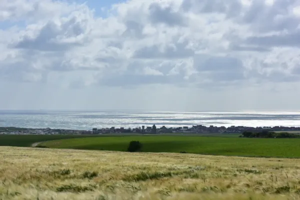
From Audembert, this circular walk climbs towards Mont de Couple. The hilltop views over the bay, countryside and coast are the reward for the ascent.
La Guiale, around 5.5 km
A shorter route through the rural landscape around Audembert. It offers a peaceful alternative to the busier coastal paths.
 © E. Desaunois
-
Walks around Cap Blanc-Nez and Escalles
Les Noires Mottes, around 4 km
From the Haute-Escalles area, this short walk offers views towards Cap Blanc-Nez and the coast around Sangatte. Check the mapped route for the correct starting point and current conditions.
La Boucle du Cap, around 4.5 km
This loop explores the landscape around Cap Blanc-Nez. You can make a longer visit by taking time at the Dover Patrol monument or heading towards Cran d’Escalles where access is permitted. Check tides and local guidance before going down to the beach.
Les Balcons d’Escalles
For a longer walk, this circuit rises from Escalles towards Cap Blanc-Nez and the Dover Patrol monument before returning through the surrounding landscape. Published route versions differ in length, so use the map for the specific itinerary you choose rather than relying on a single distance.
Le Fond Pignon
Starting around Sangatte, this route explores a landscape shaped in part by the construction of the Channel Tunnel. Check the current map for its distance, access and precise starting point.
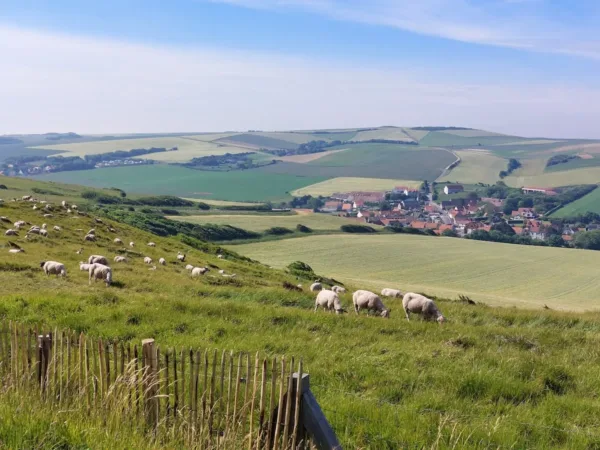
Les Hauts de Sangatte
Head into the higher ground between Sangatte and Escalles for views back towards the Channel and surrounding hills. Consult the latest marked itinerary before setting off.
-
Walking Around Peuplingues
Le Sentier des Fonds, around 11.3 km
Set off from Peuplingues for a longer walk through open countryside inland from Cap Blanc-Nez. This is a good choice when you want wide landscapes and a quieter trail.
© A. Chaput Pas de Calais Tourisme -
Walks around Sangatte and Blériot-Plage
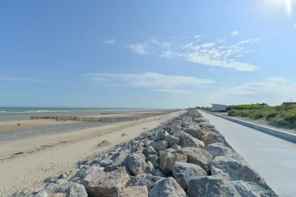
La Digue, around 10 km
Follow the seafront around Blériot-Plage for broad views of the Channel and its passing ships. The exposed coast can be breezy, so bring an extra layer.
La Dune Louis Blériot, around 7.8 km
Explore the dune landscape around Blériot-Plage on this longer seaside walk. Stay on designated paths to protect the vegetation.
 © Yannick Cadart CD 62